Onward to Tuk!
08 July 2018
ARCTIC OCEAN
Photos:
I slept pretty okay. There weren’t any bugs, due to the wind. But, my tent spent a good portion of the “night” bent sideways, due to the wind. There were no breakfast burritos being sold, so I settled for a granola bar and some fantastic Canadian water. I got everything loaded up, waved at Dave (He’s a late sleeper), and got on the road.
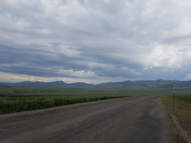
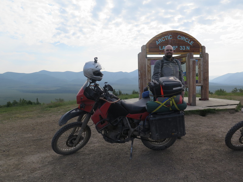
A mere 2 kilometers later, I had to stop. I was at the Artic Circle. You wouldn’t know it if it weren’t for the sign, this time of year it looks quite a bit like New Mexico. It was a bit chilly, and hazy, and the only clouds in the sky were made of mosquitos. I talked a bit with the others that had convened there, took a couple of poorly lit pictures, and took off. I didn’t want to linger too long, shortly there would be a horde of RV’s and other vehicles starting up the road from Eagle Plains. If I could stay ahead of the group then my day would be a little less dusty and would involve passing fewer people.
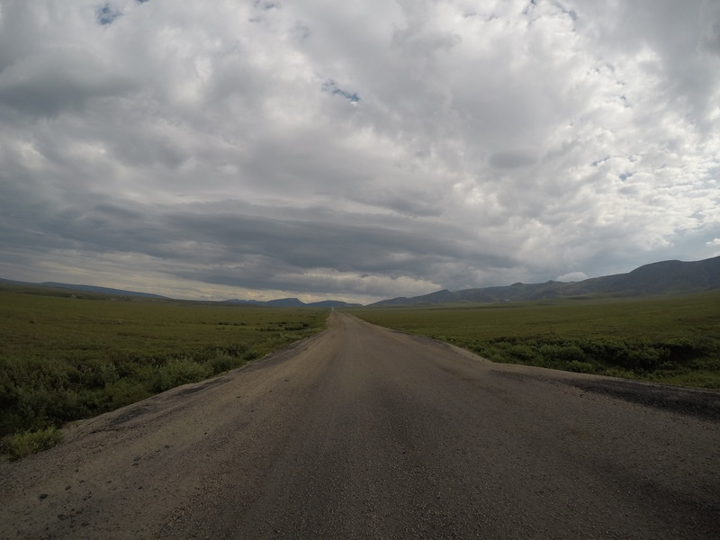
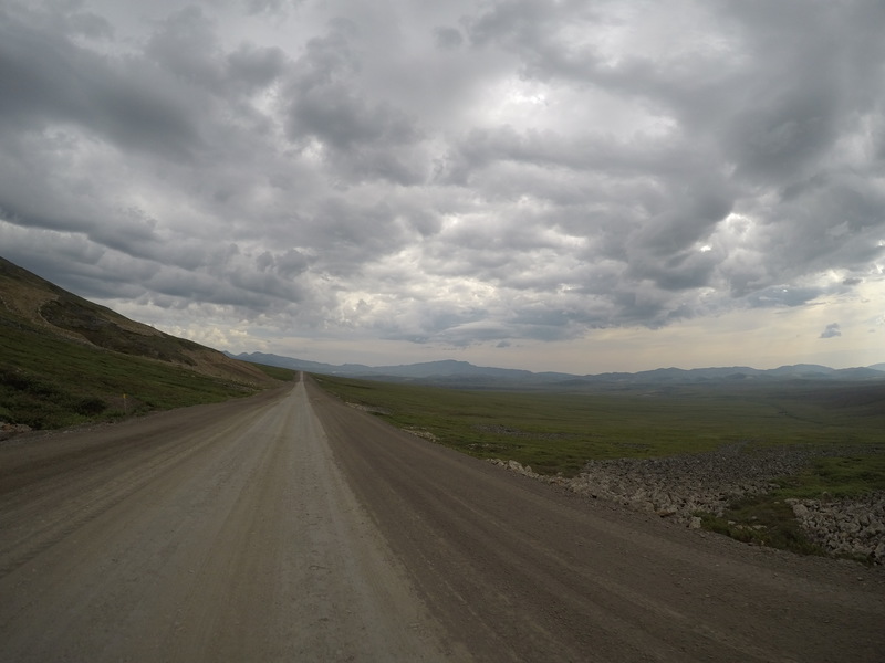
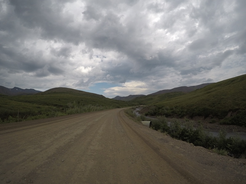
The first thing that I encountered after leaving the Artic Circle is a last row of small mountains which the road crosses via a pass. The weather in that direction I was was looking undecided with a definite slant toward rainy. Toward the top of the pass, it was dark, cold and windy. I stopped up there with another vehicle and looked back the way I had come; the road stretched back through the hills and prairies and I could see almost all the way back to the Artic Circle. There weren’t really any trees. Apparently, the altitude of the treeline gets lower and lower as you go north, to the point where they just don’t grow.
Up we go!
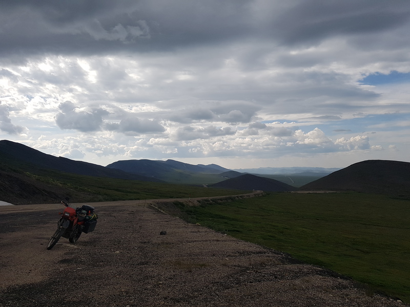
Looking back
Down into NWT
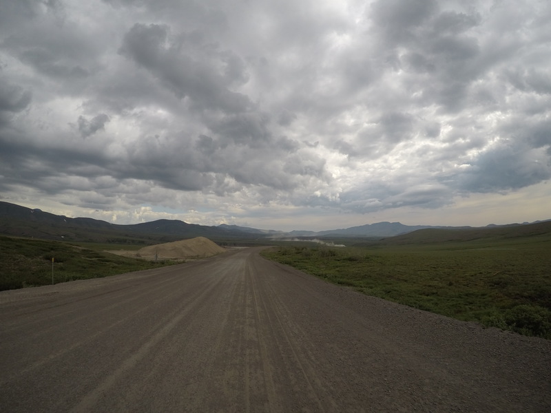
On the other side of the mountains, there is a line of hills. Here the road follows a stream through a small canyon. On the other side, the landscape opens up and reveals the flatness that will embody the rest of the drive to Inuvik. The landscape becomes low and flat, with thouasands upon thousands of small trees lining the road. It doesn’t really make for great views without a ladder, but the sky cleared off and became warm and sunny; that was good enough for me. Not only that, but I had just crossed out of the Yukon, and into the Northwest Territories.
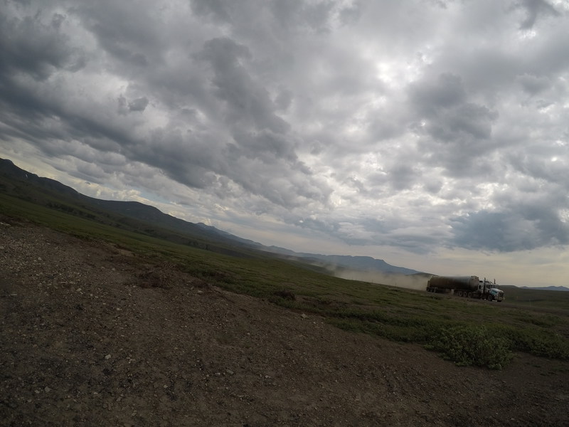
Uh oh, that dust cloud is an oncoming truck
I hid
The next fun feature of this road is a series of ferries. The first ferry is a cable ferry across the Peel River. There is a cable strung across the river and anchored securely on both sides that the ferry pulls itself back and forth on. I suppose this simplifies much of the ferry operations, although I’m not sure wha happens if the water level changes. I got lucky in that the ferry was on my side of the river when I got there, so I stopped at the sign, the operator waved at me and invited me on. I rode down the bank and onto the ferry, then we were off. I, the guy in the RV next to me, and the guy in charge of loading the ferry talked about the road conditions, caribou, and a few other things in our short time floating across the river. A few minutes later I was headed up the opposite bank toward Fort McPherson.
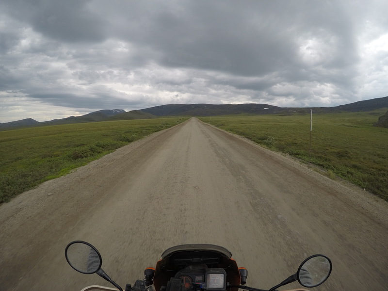
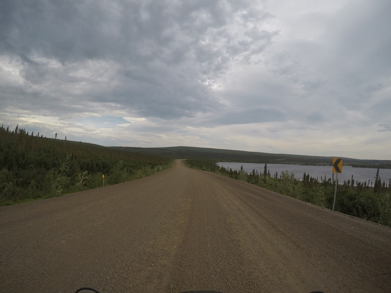
A few more kilometers and I was at the turnoff for Fort McPherson, the last fuel stop before Inuvik. I took a long hard look at my odometer. I had filled up 114 miles ago, Inuvik was another 115 miles away. Since I made it all 235 miles yesterday without hitting reserve, I decided that I shouldn’t have any trouble making it all the way to Inuvik. So, I kept going. Here the road went from being a gravel road to just a dirt road. For some reason, it was mostly devoid of gravel. On a rainy day, that would be a nightmare on a bike and I’d probably have just stopped at Fort McPherson. But on a dry day like this, it was like being on a freeway - smooth, not particularly curvy, wide shoulders, and long long sight lines. The ride from Fort McPherson to the next ferry was effortless and quick.
I had to wait a little longer for the next ferry, almost ten minutes. I saw my first Northwest Territories license plate here, apparently they’re bear shaped! This ferry is across the actual Mackenzie River where one of its tributaries joins. It connects both the two sides of the Dempster Highway in addition to First Nations the settlement on the third shore, Tsiigehtchic. It was a much bigger ferry boat, and they crammed probably a dozen vehicles onto it. I ended up parked right next to the guy that loads the ferry and he told me that the motorcycle riders that had just gotten off the ferry going in the other direction had reported that the road to the north was in excellent condition. Thats just what I wanted to hear.
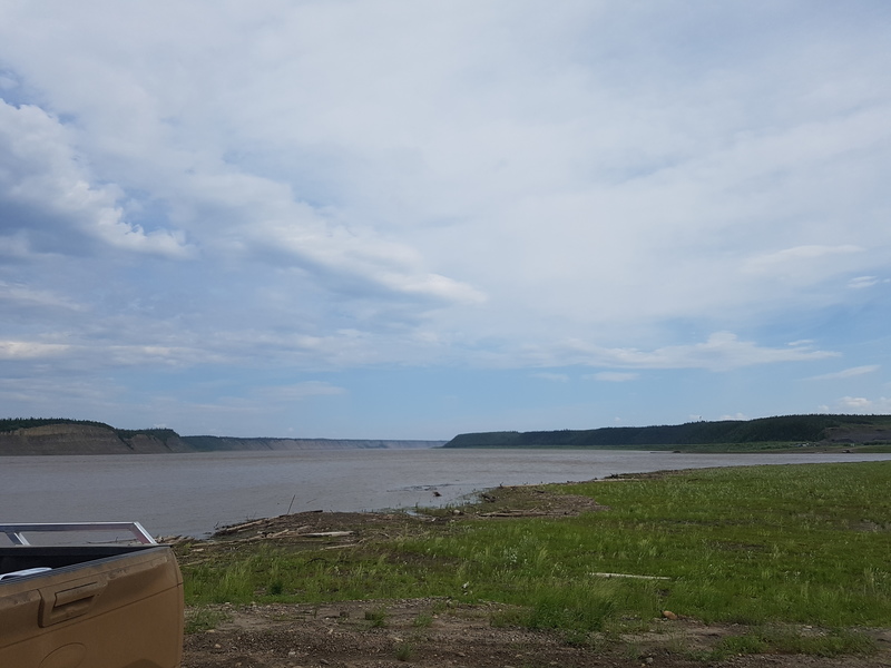
Waiting for the second ferry
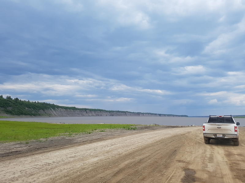
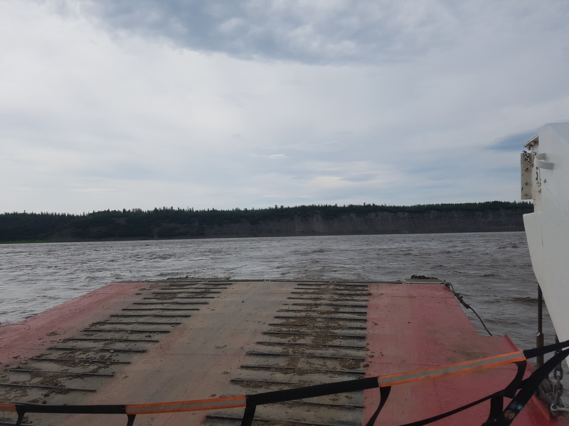
Front row seats!
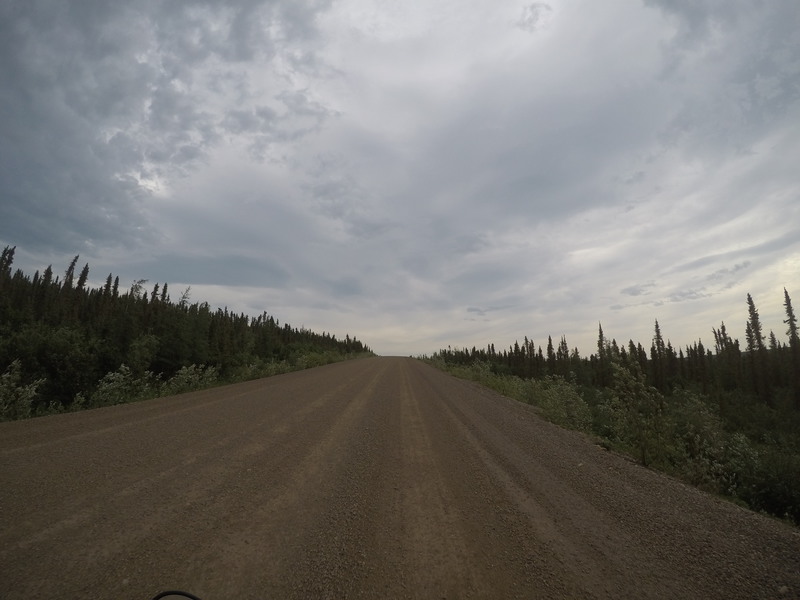
I was lucky enough to be the first off the ferry and carried on to the north. Here the road became perfectly straight for miles and miles, then had a curve, then was straight again. It was also perfectly smooth with not much traffic, more excellent riding conditions. The terrain remained mostly flat, with lots of short little trees along the sides.
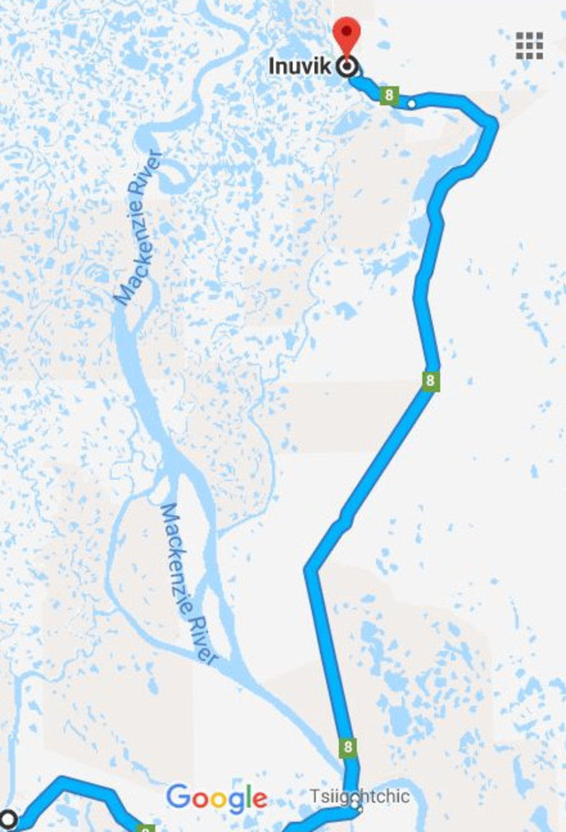
Yep, those sections are really straight
The rest of the ride to Inuvik was mostly uneventful. At one point, I came around a corner to find a little orange sign on the side of the road, that said “GRADER WORKING”. Then about five feet later, they had a ridge of gravel down the middle of the road that I hit dead on. I bounced around a little and had to remind myself not to make any drastic moves. Moments later the gyroscopic forces of the bike had me upright and riding comfortably again. Yay, physics!
Inuvik wasn’t exactly a bustling busy place, although it was a Sunday, so that made sense. I stopped in at the visitors center and talked to the people there about Tuk, found out that I could get a certificat for sticking my hand in the Artic Ocean, and asked about where I could find some lunch. There were only two places open - Alestines, and The Roost. I didn’t know where Alestine’s was, and I had driven by The Roost already, so I went there. I didn’t get sick, but I also didn’t have anything good to say about the burger. It was still feeling good, wasn’t going to run out of daylight, and I really wanted to get to the Artic Ocean. The weather was also still good, so I really wanted to take advantage of that. I found one of the gas stations, and there was Dave, he had caught up. He was planning to cmap in Inuvik that night, so I told him to try Alestines after my “burger” at the Roost. I filled up, paid, and left.
The road to Tuk has a short history - its brand new. Prior to November of 2017, the only way to reach Tuktoyaktuk was by airplane or boat in the summer. In the winter, there is an ice road that runs down the Mackenzie River. This little fact was a huge driver in what made going to Tuk interesting. At this time, the road is still a little unsettled. A good rain in the right spot can turn it from a nicely groomed dirt road to a complete nightmare. Over the course of a week not long before I arrived, they had towed no less than 7 motorcycles out of the mud on this road.
Fortunately for me, it was perfectly dry the whole way up. Right after leaving Inuvik, I happened upon the spot where I think might have had all of the drama previously. I had to be careful and hold on tight, all of the deep ruts were still there, baked into the dirt. To further complicate it, someone had dumped gravel on top of it all. So, the gravel was deep in some spots which makes you feel more like you’re driving a 2 wheeled boat than a motorcycle. The handlebars sway back and forth and you feel like you’re not really in charge when you’re in that gravel, its really unsettling the first hundred times it happens.
After crawling my way through the field of ruts, the road became nice. It was gently curved as it meanders between small lakes. If Minnesota is the land of 10,000 lakes, the Northwest Territories must be the land of 10,000,000,000 lakes. Someone later told me that someone had tried to count them all and given up. There are also things called pingos - ice hills that get a little bigger each year as they freeze and thaw. There isn’t much else to the landscape, there’s good visibility in all directions.
The entire day, it had been warm and cozy. I didn’t have the warm liner in my jacket, it was just the mesh textile shell. Then, when I got about 25 miles from Tuk, the temperature plummeted. The sun was still out, it didn’t look like rain, but it was downright chilly. So, I stopped, got off the bike, and started digging out my warm liner and my heated jacket. About 30 seconds later is when the mosquitos realized that I had arrived. I’ve never seen mosquitos swarm like gnats before, but there they were, in orbit around my head. I still had my helmet on, so I shut the visor, but I had my coat off so my arms were exposed. I swatted a few, quickly put on all of my layers, pu on the coat, plugged in the heated jacket, and took off. So much for enjoying the view. I suppse you could enjoy it if you ran the entire time.

Hats off to the surveyors
One of the lakes the road dodges
In the last 15km before reaching Tuk, the road once again became interesting. It had clearly been wet and then dried. While it was wet, vehicles drove across it, leaving ruts. The usual thing to do is to stay out of the ruts and drive on the smooth part of the road. In this case, the smooth part was jaw chatteringly bouncy. It didn’t look like it should be, but it was awful. I strayed into the ruts and found them to be somewhat smoother, so thats where I stayed all the way to Tuk.
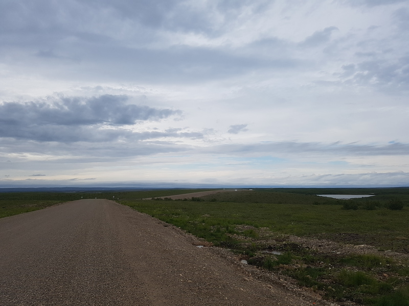
Tuk isn’t your average tourist destination. There is a big welcome sign, but thats about as far as it goes. On the way into town you go right past the landfill (which they’re going to move). Next is a couple of facilities for oil production and accomodations for the workers - one in use, one not. The other thing that can’t be missed is the radar station - three big globes, one on a tower, at the top of a hill. It was part of the DEW line in during the Cold War.
Its also hard to ignore the construction. All of the buildings are off of the ground at least a couple of feet and nothing is buried underground. This is due to the permafrost. We’ve learned the hard way that if you disturb the permafrost and build into it, eventually it will melt, the soil will destabilize, and whatever you built will fall over. Its best just to build on top and bury nothing, which is what they did here, and Inuvik. Where it gets interesting is with the usual pipe services - water and sewer. In Inuvik which is a bit newer, they’ve built corridors between the houses up off the ground that house all of the plumbing. In Tuk, there is no such thing. Each building has a freshwater and blackwater tank, then there is a truck that goes around and fills or empties them. Its a little weird when you first see it.
I wandered through the town and wandered my way to the point, a little spit of land that that pokes out into the bay on the Artic Ocean. Tuk has no campgrounds yet and soe they are allowing people to camp out on the point for free. This gave me a pretty good little tour of the small town. Once I got to the point, I came over a small rise in the road and it was obvious I was in the right place - there were four or five tents and a dozen RV’s parked haphazardly around the area. There were a few campfires burning and people were huddled around them. If I didn’t know better, I would have thought it was a refugee camp.
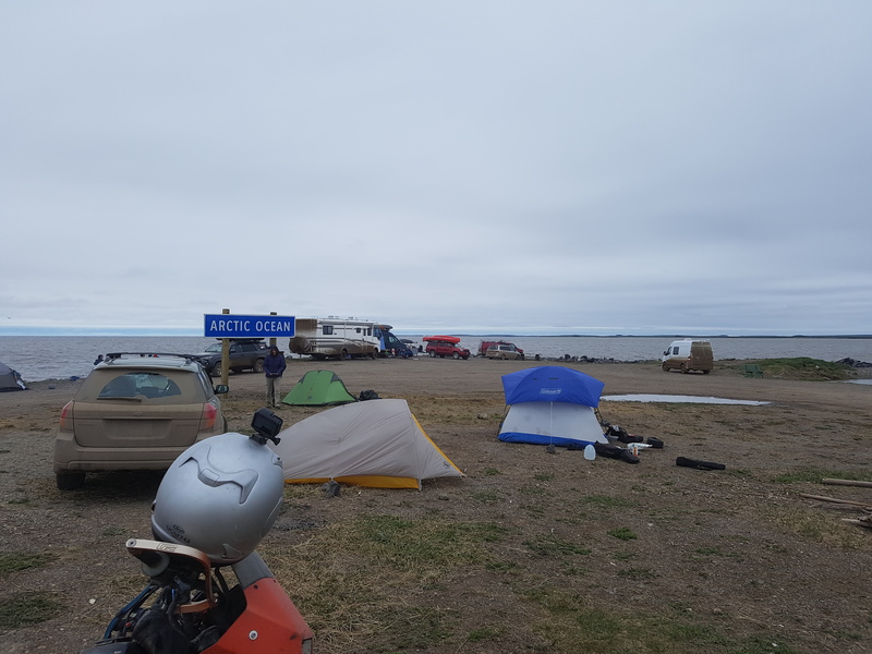
My hands were cold and it wasn’t getting dark, so I decided to bounce around the campfires to warm up my hands and meet people. The one nearest to me was occupied by a couple of buskers who had hitchiked their way up from Dawson. They had travelled all the way from Vancouver by hitchhiking with their dog and were usually to be found playing music outside the casino in Dawson. They wanted a change of pace, so they came up here to see what they could see.
Next, I sat at a fire with a couple from Las Vegas. They lived in an RV full time and were just travelling around making YouTube videos.
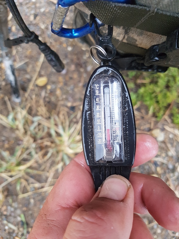
It was a little chilly, even for the Arctic
The last fire I stopped at was with a young couple from Vancouver, their three kids, and his parents. They were originally from Germany, but had moved to Canada some time ago. They liked to camp quite a bit, so they had a big blue Mercedes Sprinter van and he had built a teardrop camper to pull behind it for his parents to sleep in. They had strung up a big tarp from the top of the van over the picnic table and cozied the whole thing up next to the campfire ring. I said hello, they invited me to sit by the fire. We listened to a local who also stopped by the fire with her mother talk about how different it was to have all of these visitors in the summer in Tuk and how they were dealing with it. They also offered me a bowl of chili, which sounded much better than the food I had with me, and then said “oh yeah, we made bread dough, wrap this around a stick and cook it on the fire.” Next thing you know, I had fresh bread to go with my chili. We traded stories about driving up the Dempster for the rest of the evening until it started to get rainy and we all decided to get some sleep.
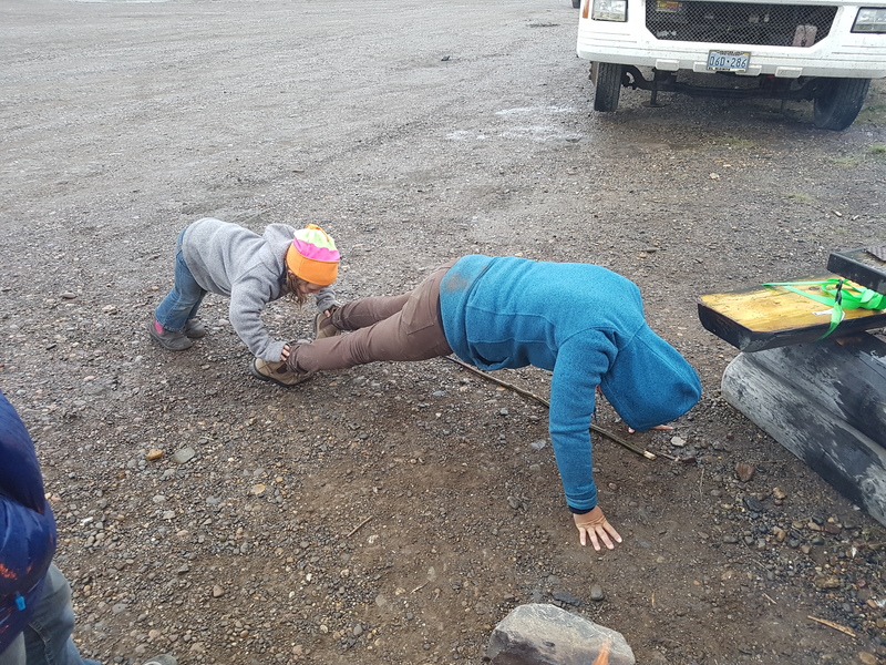
Swear jar? Nope, swear pushups!
