Banff II
27 June 2018
The Most Popular Hike in the Canadian Rockies
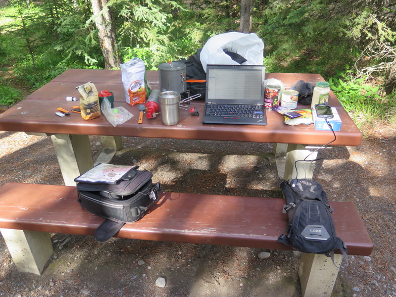
I really enjoy the days where I don’t have to pack my stuff, doubly so if its raining. Today was a bit of a compromise, since I knew I was going to stay another night, but when I went to re-register, they already had a reservation for the site I was in. So, I had to drive back to the campsite, unstake my tent, wrestle it across the street, and re-stake it. It was pretty easy since I didn’t have to pack, but I still had to move it.
The big excitement for this day was a hike up Johnston Canyon. I wasn’t real sure what to expect, so I got out my hiking shoes, camelbak, hiking clothes, camera, and some granola bars. The park service runs a shuttle from the Banff train station out to Johnston Canyon which was only $5 CAD for a round trip, and meant I didn’t have to look for a parking spot. I arrived at the train station, parked the bike, stowed my gear, bought a ticket, hopped on the bus, and we were off.
The shuttle bus turned out to be a really good idea. Upon arriving at the Johnston Canyon parking lots, they were all full and people had begun parking out on the side of the highway leading to the trailhead. Apparently this is the most popular hike in the Canadian Rockies, and Canada Day was fast approaching, so this was all making sense.
The trail follows Johnston Creek up a canyon that it has carved. The big attractions are a couple of large waterfalls, lots of pretty nature, and if you hike all the way to the top, a unique geological feature they call Ink Pots.
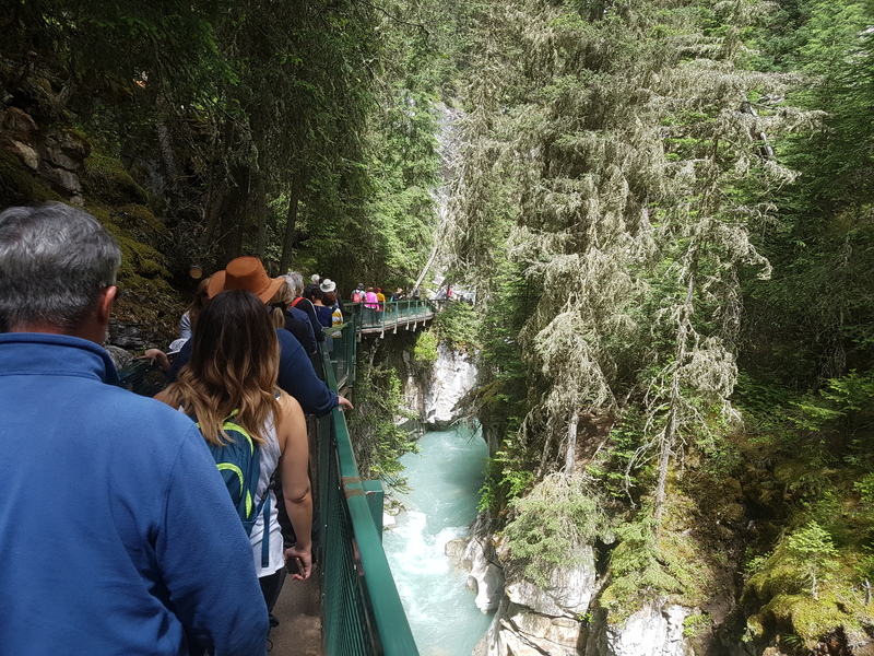 People everywhere
The hike was pretty, the crowds less so. Evidently this trail gets so much use that they needed to pave it and add a metal railing most of the way from the restaurant and gift shop all the way up to the waterfall. In some places, this was appreciated since the railing was hanging out over the river, but in others it was a bit confining. I’m really accustomed to trails that are dirty, rugged, and give a little freedom to wander away down the rocks to the river. But I get it, this trail sees thousands of people every week, there’s no way it would hold up without the paving and railing.
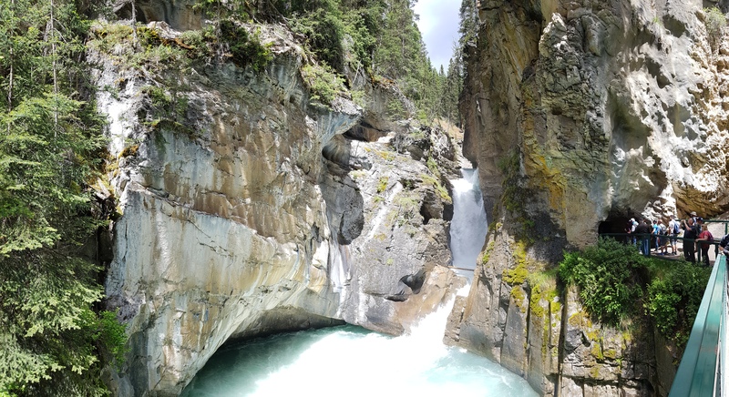 The First Falls
 Misty!
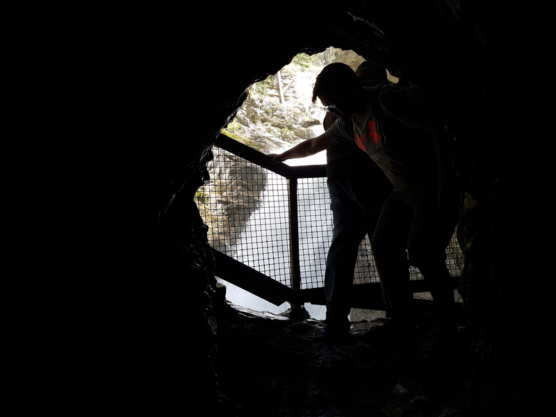
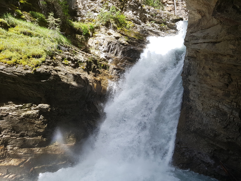
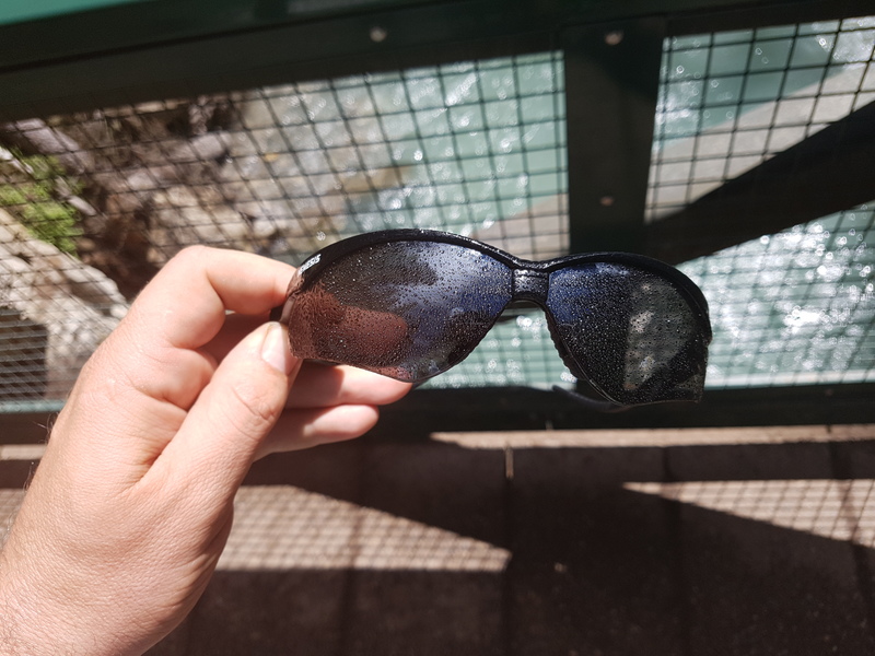
The first waterfall was pretty fantastic, especially since the region has seen lots of rain recently. The park service has built a bridge across the creek that gives you a great view of the falls, and at the end of the bridge is the entrance to a small passage that goes through the rock and comes out right next to the falls itself. This really gets up close to the falls and gets you a little soggy.
 The Second Falls
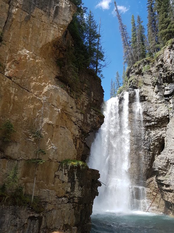
The second falls is less exciting for some people, but I think it was my favorite of the two. The same amount of water but from a taller waterfall. They also built a viewing platform in the middle of the creek from where the entire waterfall is visible top to bottom. No getting real close here, but it was nice anyway.
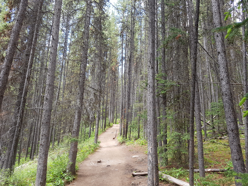
Just past the upper falls, the trail gets wider but stops being paved and the railing disappears. I found a nice spot to run down to the bank of the creek and out of sight of the trail to enjoy some quiet while I had a tasty granola bar.
Next up was the hike to the ink pots. This is where the trail went from lazy, nearly flat and sidewalk-smooth to a steep, rocky and dirty trail. It was wonderful. It takes you right up the side of the mountain with a couple of switchbacks, then down a bit,then up some more, and then drops you off right at the Ink Pots. Along the way, I hiked with some Canadians from Calgary. After the usual “Oh Texas? Thats pretty far, eh?” start to the conversation, we got to talking about places to stop on the way to Alaska since they had recently done that trip. The thing they suggested and I immediately wrote down was the Liard Hot Springs. Evidently the normal thing is to stop at Watson Lake when you’re the Alaska Highway, but they said it was way better to stop earlier and take a dip in the hot springs. That sounded pretty good.
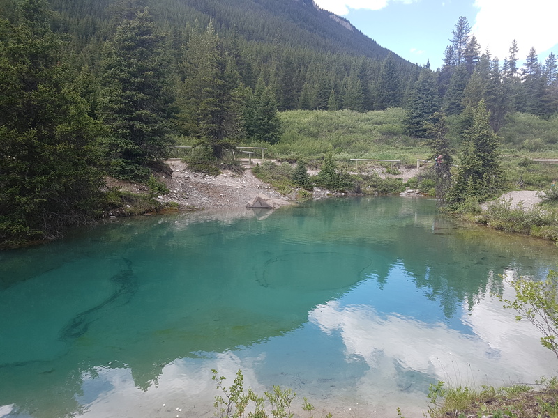
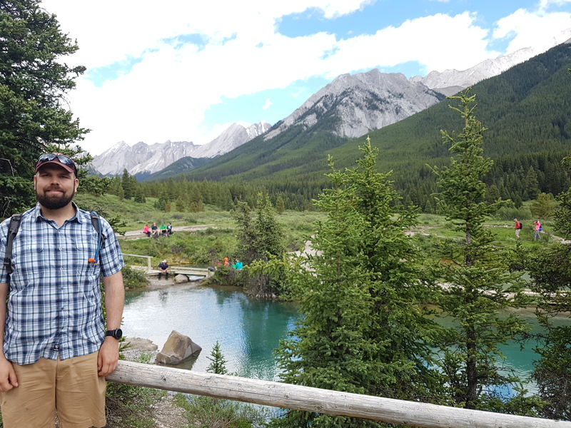
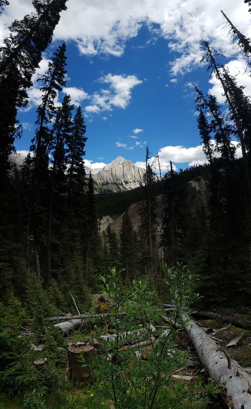
The Ink Pots were something new to me. Apparently water soaks into the ground in the area up the valley and then flows underground and resurfaces at the bottom of these little basins. During that process it picks up minerals that give color to the water and the pools, hence the name Ink Pots. If you stand on the side of the pool long enough you can watch the current rising up from the muddy bottom push dirt across the bottom of the pot in little waves (I have video, just need to upload it). Theres probably ten of them spread out in this little valley, and they all behave a little bit differently. Beyond the Ink Pots, its really just a very pretty area to enjoy - a nice green valley, surrounded by mountains.
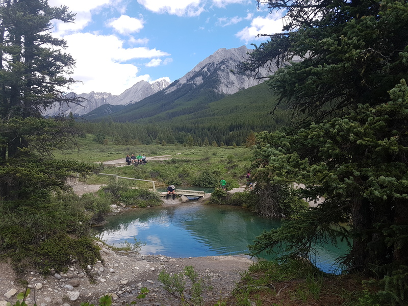
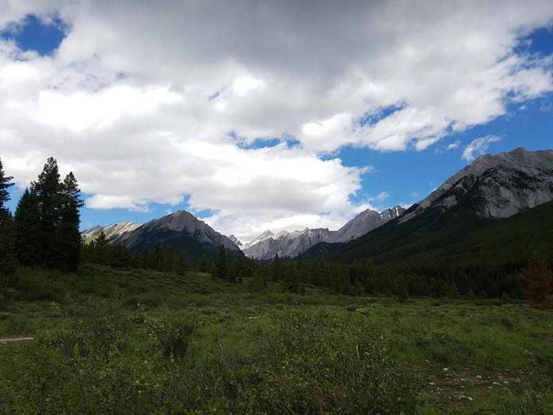
The walk back down the hill was definitely less work than the walk up, although my knees might disagree. At the bottom, there’s an ice cream stand, but in the little gift shop, they had yogurt parfait with fresh fruit and granola. This seemed way better, so thats what I did and it did not disappoint.
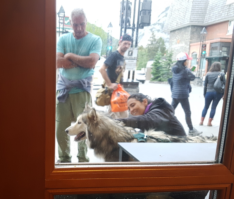
After waiting at the world’s worst bus stop (they do have a sign, but the only thing you could consider a bench is a log that rolls around under you. I just sat on the pavement), I got back to Banff. For some reason, I’m never that hungry after hiking, and I really needed to charge my laptop, edit some photos and check my email, so starbucks it was! It was pretty uneventful, aside from meeting an enthusiastic Alaskan Malamute from Denver and his skateboarding owner.
